An Adventurous gateway to Mt. Pinatubo.
Facts and Info about Mt. Pinatubo
Thick deposits of tephra, streams of pyroclastic flow, and lahars caused significant damage to the economy and infrastructure of surrounding cities.
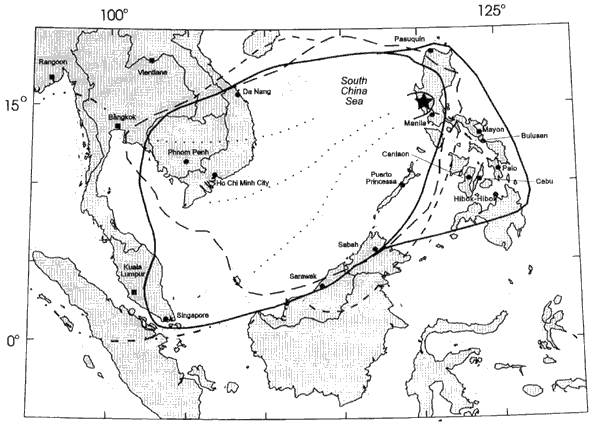
The volcano also ejected millions of tons of sulfur dioxide into the atmosphere, which contributed to ozone depletion and caused a worldwide decrease in temperature.
Before the eruption, Mount Pinatubo was covered with tropical vegetation and was home to more than 30,000 people who lived in villages on its slopes. Thousands of other people lived in the valleys surrounding the volcano, including US military personnel stationed at Clark Air Base and Subic Bay Naval Station. Scientists from the Philippine Institute of Volcanology and Seismology (PHIVOLCS) and the United States Geological Survey (USGS) were able to accurately predict the timing of the eruption and its effects. As a result, the Philippine government and the American military were able to carry out a timely evacuation of the population, saving thousands of lives and millions of dollars in property damage. However, the eruption killed up to 800 people and displaced thousands more by burying the surrounding land with thick layers of ash. Dams were built to control destructive lahars that followed the eruption, and recovery costs totaled billions of Philippine pesos.
The volcano’s eruption also had significant global environmental effects. Mount Pinatubo ejected millions of tons of sulfur dioxide gas into the atmosphere, forming a cloud over the earth and decreasing average worldwide temperatures by almost 1 degree Fahrenheit for several years after the eruption. The sulfur dioxide, which mixed with water and oxygen in the atmosphere to create sulfuric acid, also contributed to a rapid destruction of ozone. The ozone layer hole over Antarctica reached its largest size when observed the year following the eruption.
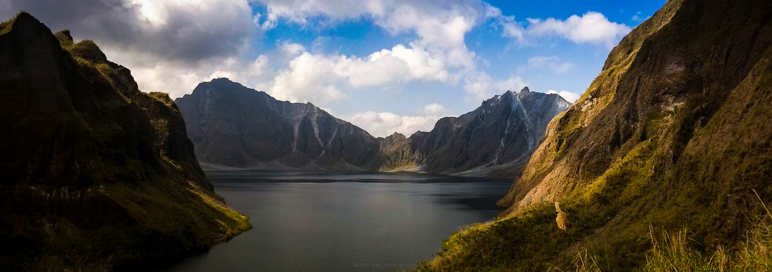
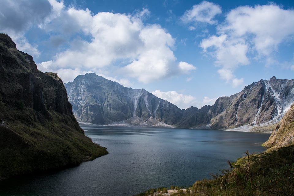
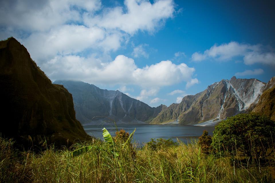
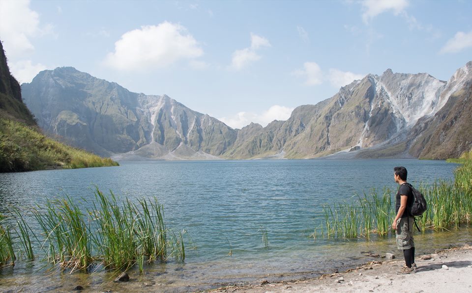
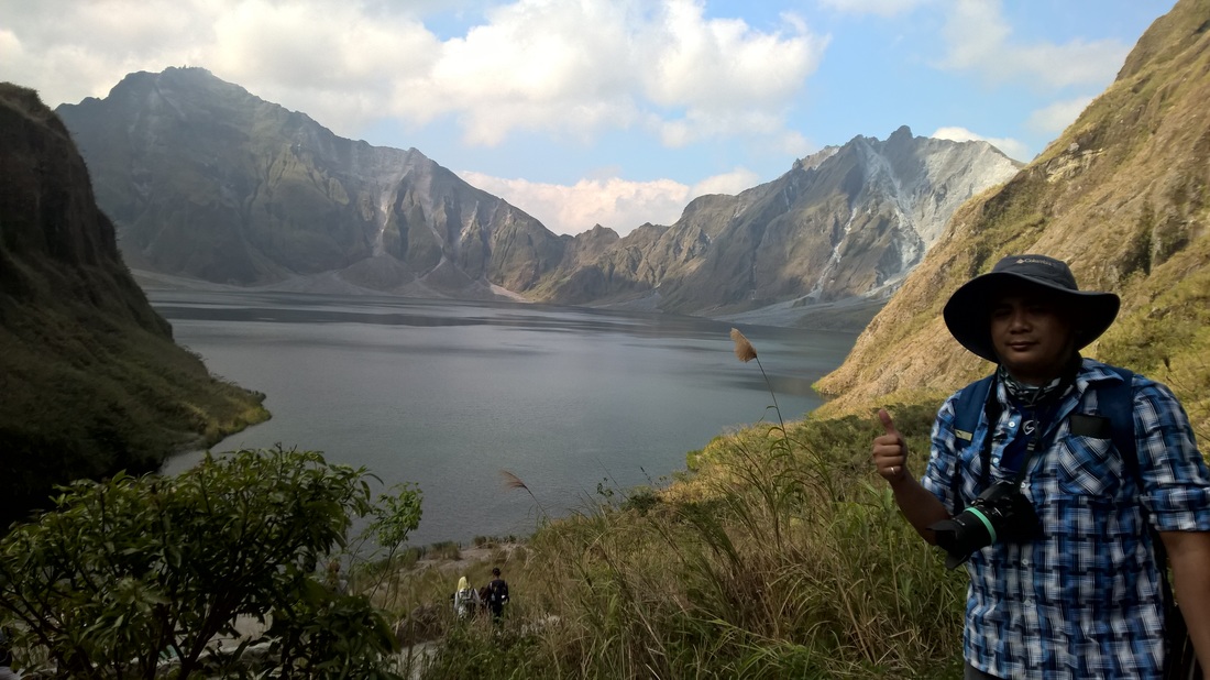
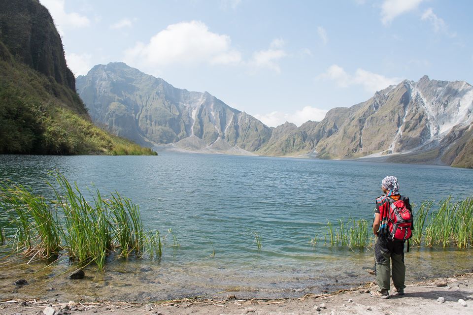
The volcano today is a safe place to visit. The crater of the volcano is a beautiful lake that is 2.7 kilometers wide and the water is crystal clear. However it is advised not to swim in the water of the lake.
Trekking Mount Pinatubo is a popular activity among locals and foreigners alike. The mountain is located only about 3 hours away from Manila. It is easy to get there by oneself but it is best advised to join a tour.
• The height of Mt Pinatubo is only 1760 meters
• Mount Pinatubo also erupted about 450 – 500 years before
• 15-20 million tons of sulfur dioxide were discharged in the atmosphere following the eruption which caused a global cooling among others.
• Currently Mount Pinatubo attracts many tourists who practice mountain hiking
• Mount Pinatubo’s eruption caused the ejection of 10 cubic kilometers of magma
• The former US Clark Air Base was located just 37 km away from Mt Pinatubo
• The eruption of 1991 was preceded by many earthquakes north of the Pinatubo
• 847 people died following the eruption
• After the eruption a lake was formed in the crater, Lake Pinatubo
• In 1957, the Philippine presidential plane named Mt Pinatubo crashed and killed the then president of Philippines
• The largest eruption of the 20th century happened in 1912 in Alaska. The volcano formed after the eruption is called Novarupta.
Every Adventure is worthwhile
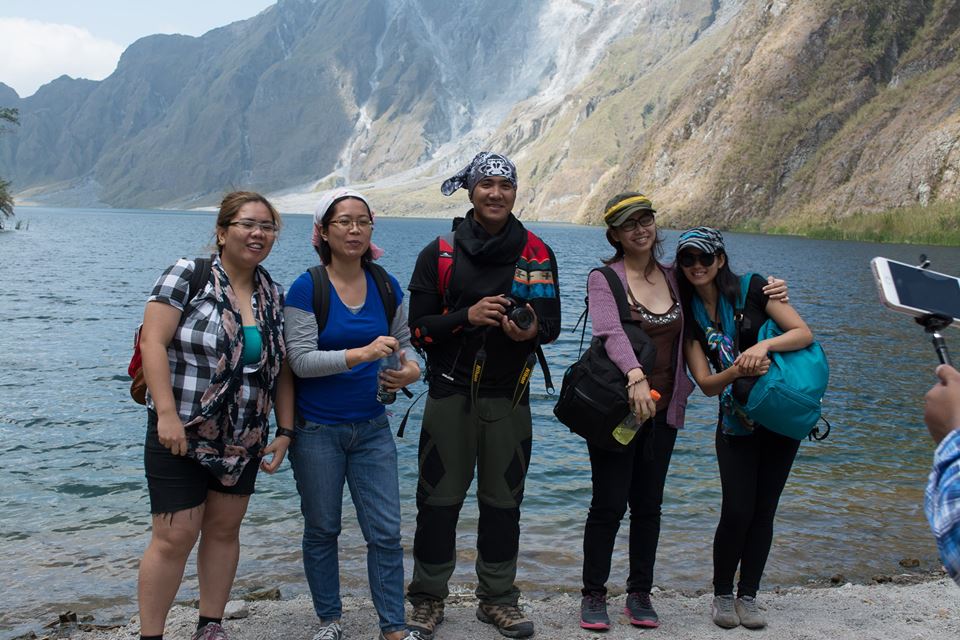
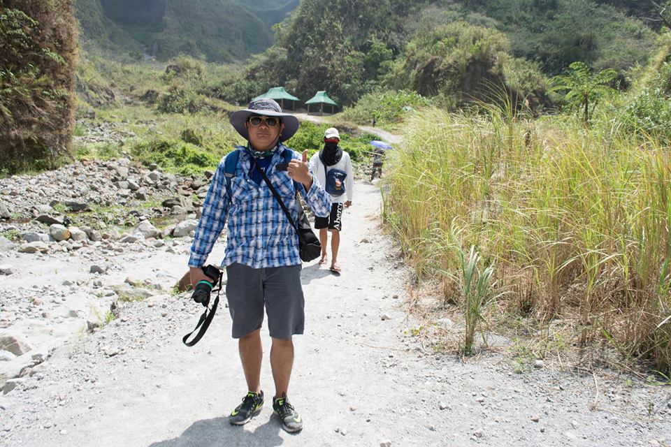
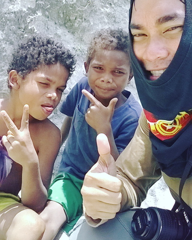
Sa totoo lang, itong lakad sa Mt. Pinatubo ang aming unang na-planong lakad bago pa man ang aming adventure sa Mt. Ulap. Sa tulong nang isang travel and tour company na e-Philippines Adventure Travel and Destinations ay mas napadali ang pag-organize nang lakad. Naging exciting din ang lakad na ito dahil sa mga bagong tao, bagong mukha at bagong personalidad na ang aking nakasama sa adventure na ito. Sa totoo lang mahirap makisama sa iba lalo na't mahiyain o introvert type of person ka ngunit sa tulong nang outdoor activities ay natutunan, nalaman at kahit papaano ay nakatulong sa akin na ma-overcome ang pagiging mahiyain (sa madaling salita, medyo natutunan ko na din kumapal ang mukha este ang pakikihalubilo at pakikisama sa iba).
After duty sa trabaho ay nagtungo kami nila Sirs Rommel (Byaherong Kaskasero/The Rainman) at Jhanssen sa Wendy's Cubao dahil doon kami susunduin nila Sir Rex bago tumulak patungong Capas, Tarlac. Habang hinihintay ang pagdating ng van kung saan lulan sila Sir Rex ay naisipan ko na mag-dinner na din dahil galing pa kong duty. Makalipas ang ilang minuto ay dumating na din sila at agad na din kami sumakay. Medyo nakakatawa lang dahil yung isang grupo pala na nasa harapan lang namin sa Wendy's ay kasamahan pala namin sa adventure na ito at naghihintay din pala sa pagdating nila Sir Rex.
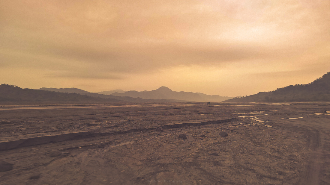
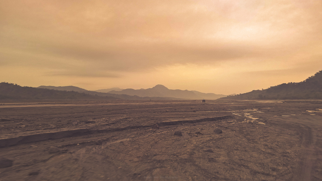
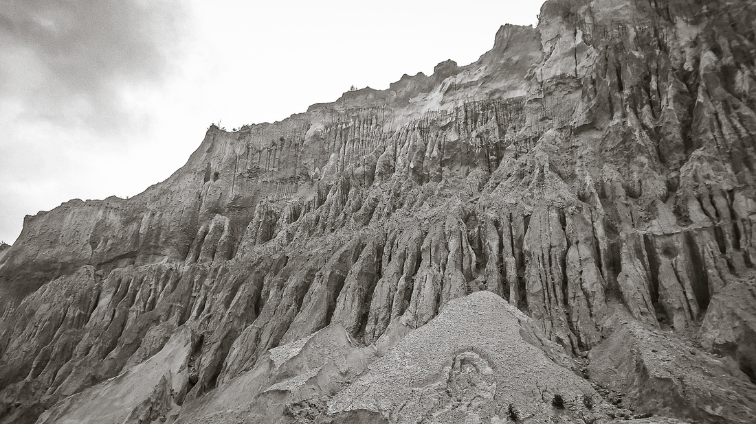
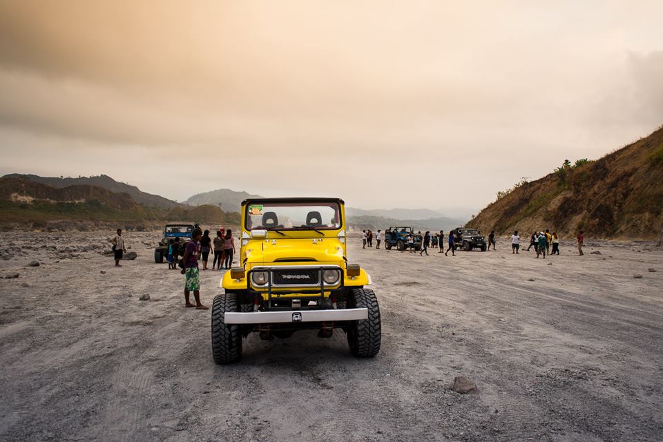
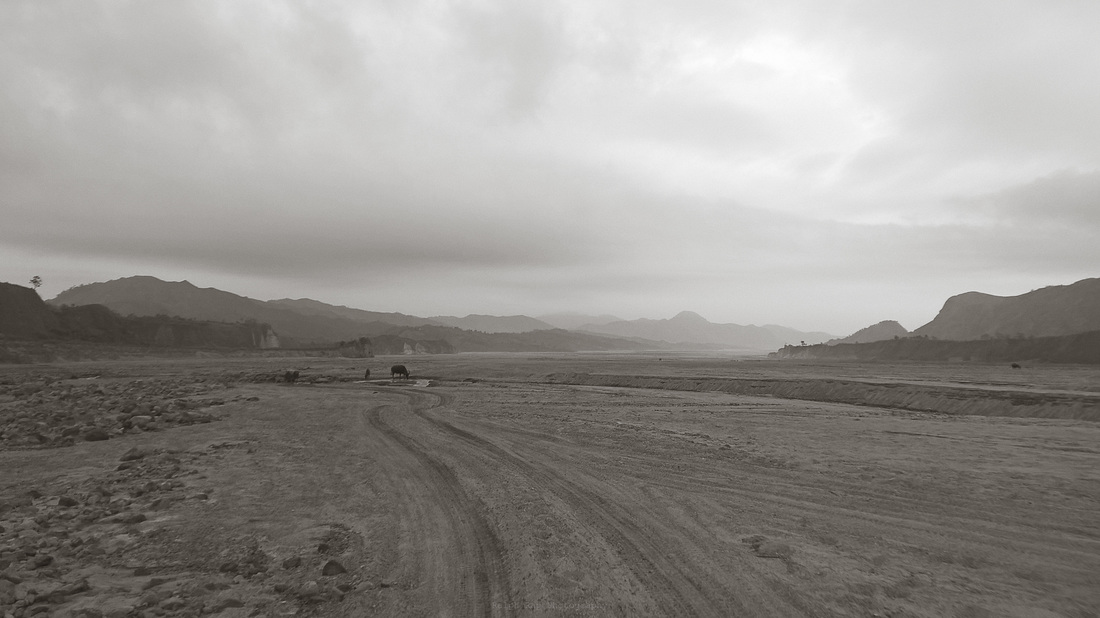
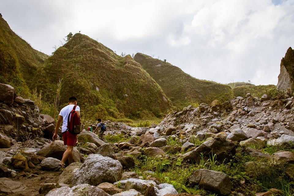
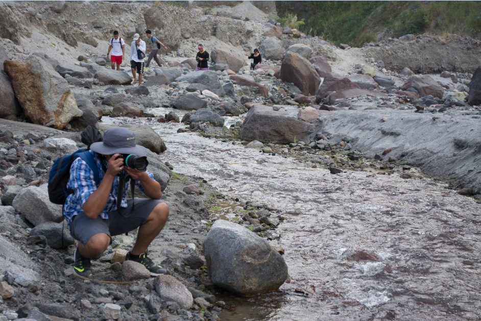
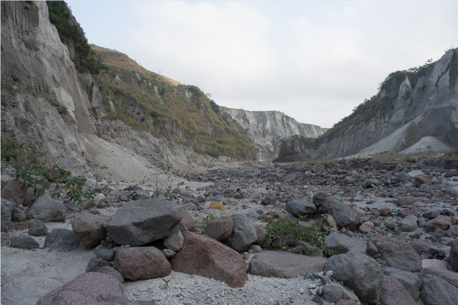
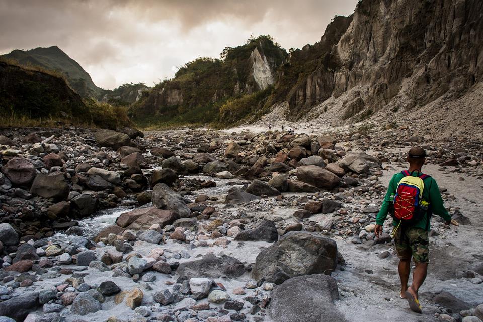
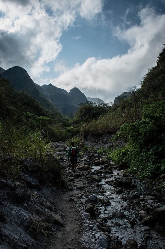
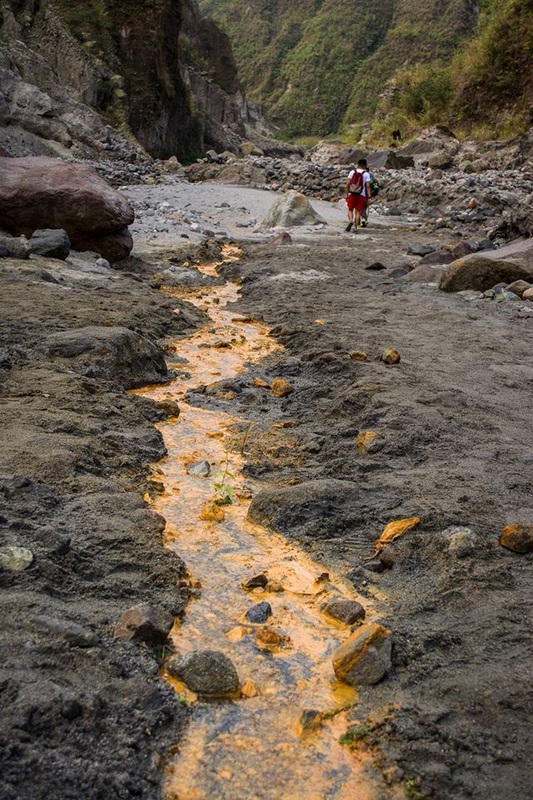
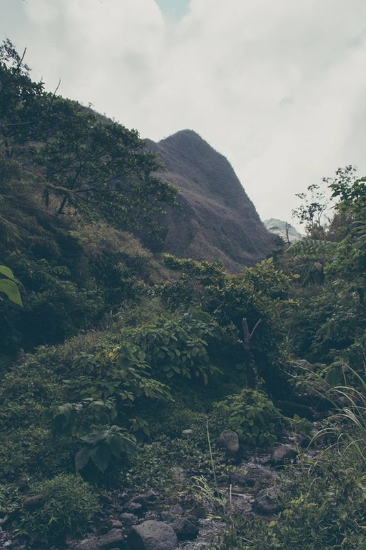
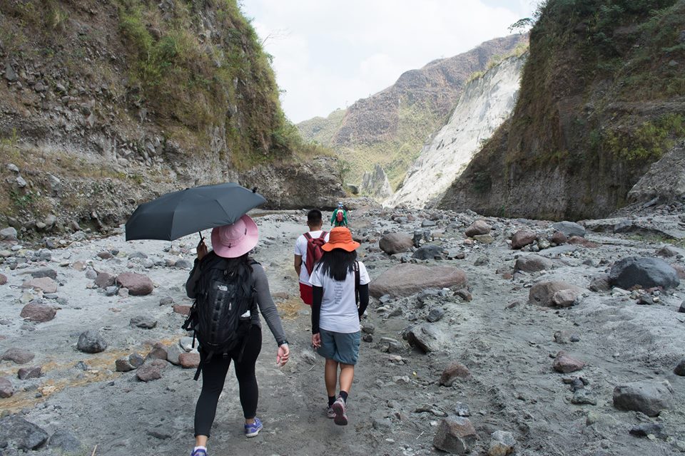
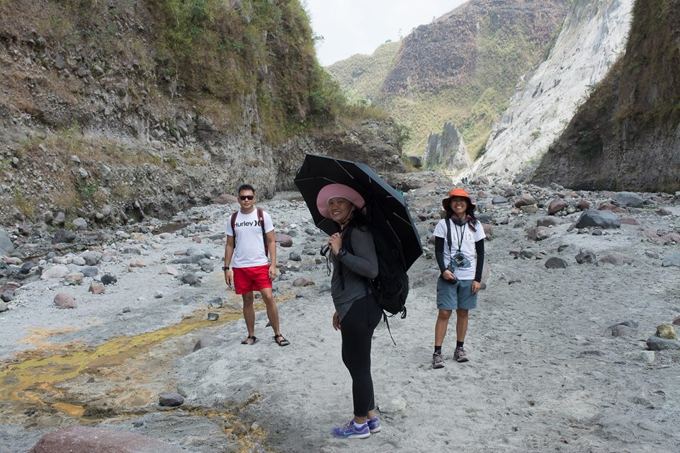
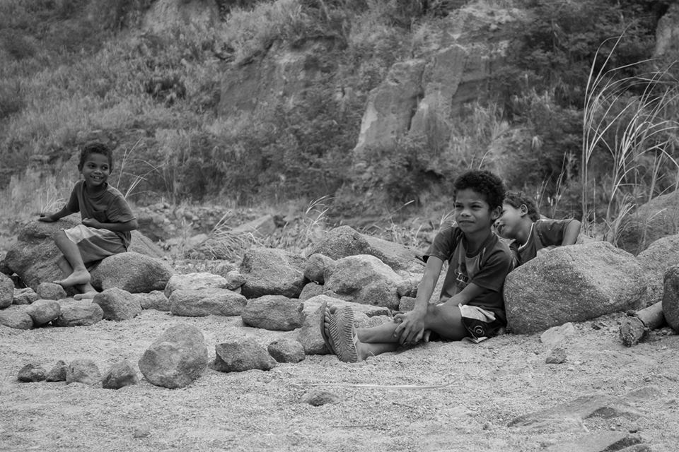
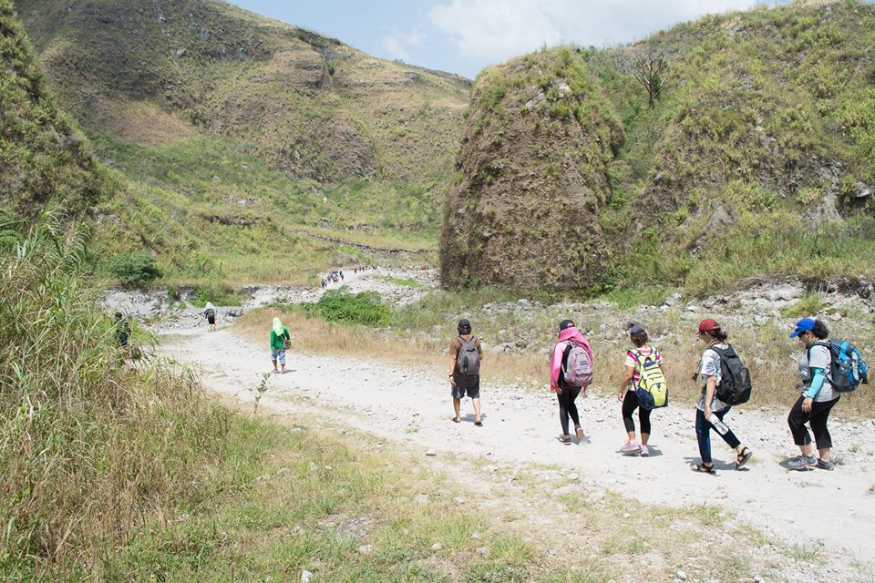
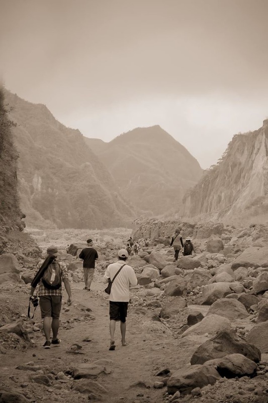
Sa kabila ng iniwang trahedya ng Mt. Pinatubo, may ilang bagay ang mistulang umusbong na kahit papaano ay nakakapanghalina sa mga mata ng mga dumarayo dito. Ilan na lamang sa mga ito ay ang mga hulmang kabundukan o ridge na makikita sa paligid na tila sing pino ng polvoron ang lupa. Ang abo o tila buhangin sa dagat na iniwan ng lahar na mula sa nasabing bulkan. Ang mga batong naglipana sa daan, mula sa maliit at hanggang sa sinlaki ng boulder.
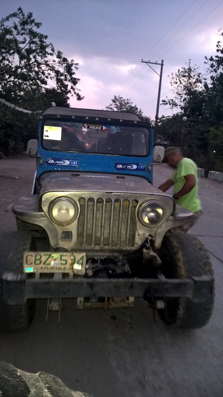
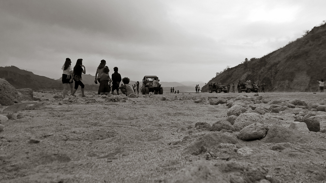
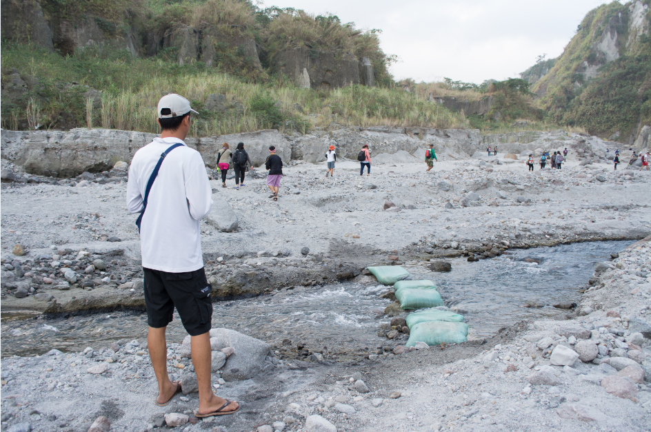
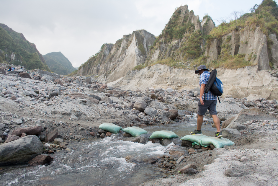
Sa bilis ng takbo nang aming sinasakyan, dagdagan pa nang salubong na hangin ay talagang mapupuwing ka sa mga abo o buhangin na tila nakikipag-sayawan sa hangin. May nadaanan din kaming ilang river crossing na mukhang mapanganib sa tuwing malakas ang ulan dahil siguradong malakas ang daloy ng tubig mula sa mga ito. Dagdag pa ang mga bato't lupa na maaaring gumuho.
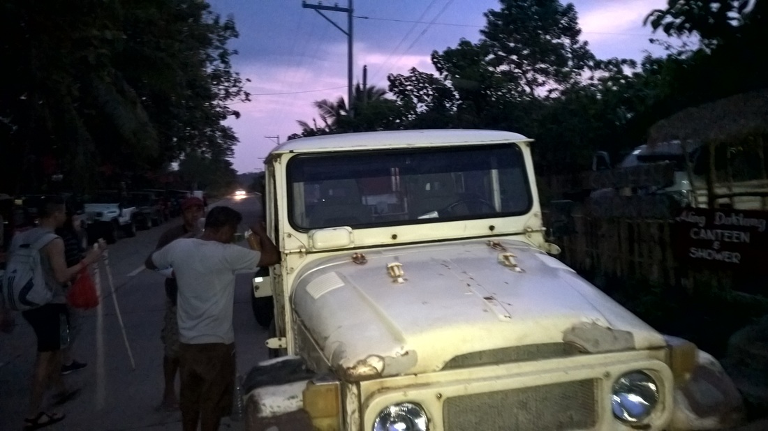
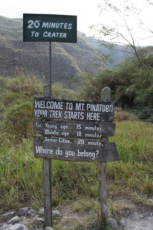
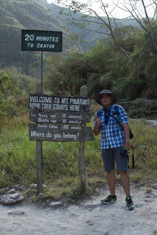
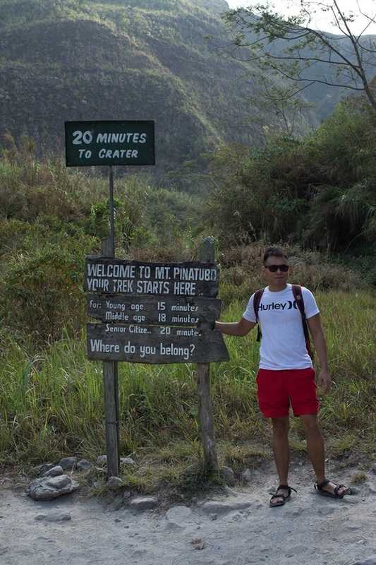
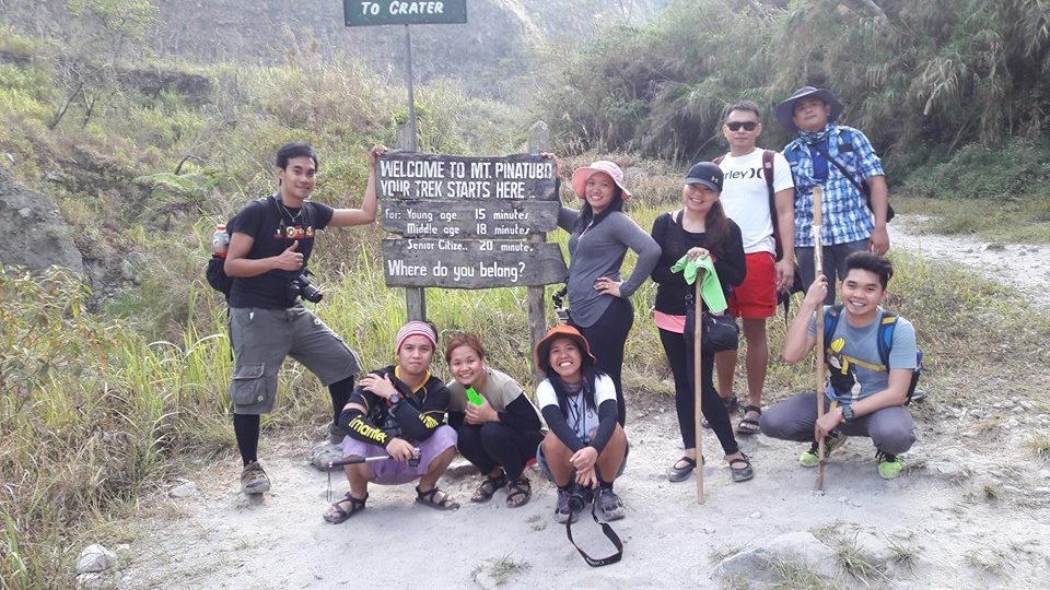
Medyo nagbabadya din ang masamang panahon noong mga oras na iyon dahil medyo makulimlim ang kalangitan. Makalipas ang mahigit isang oras na pag-biyahe ay narating din namin ang jump-off point kung saan magsisimula ang mahigit 2-3 oras na pag-trek patungong crater ng bulkan.
Nagpatuloy na kami sa aming adventure at malaking pasasalamat dahil binigyan kami nang magandang panahon. Ang makulimlim na kalangitan ay unti-unting napalitan nang liwanag na nagmumula sa sikat ng araw.
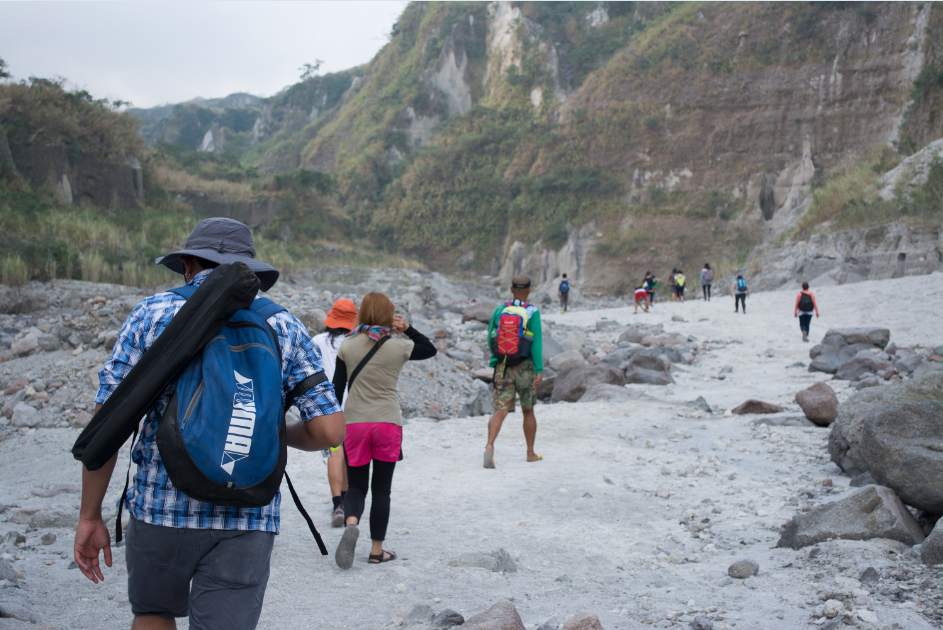
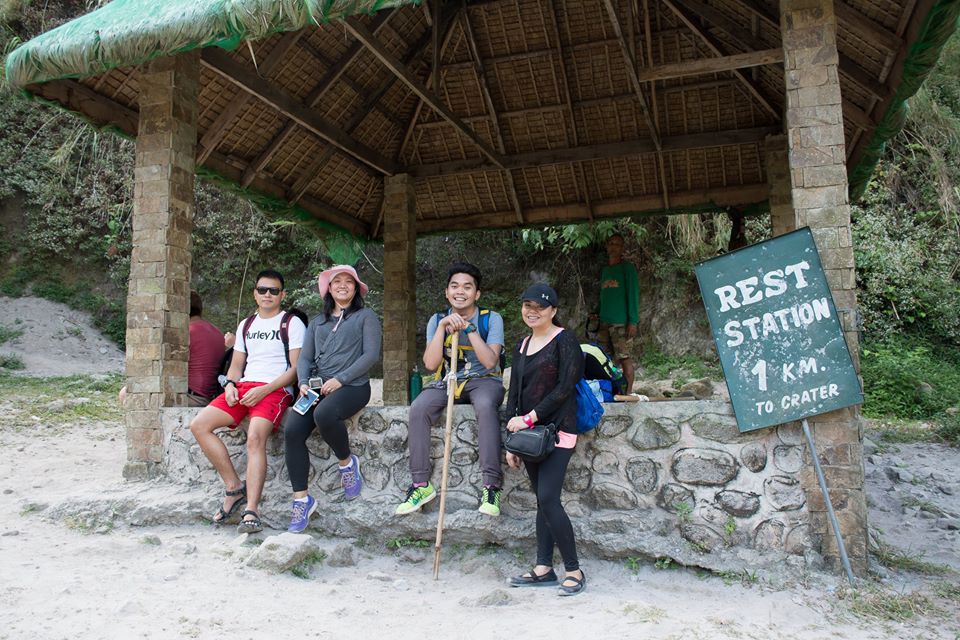
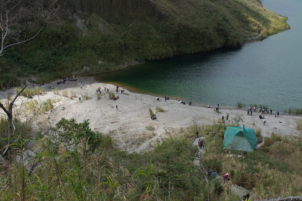
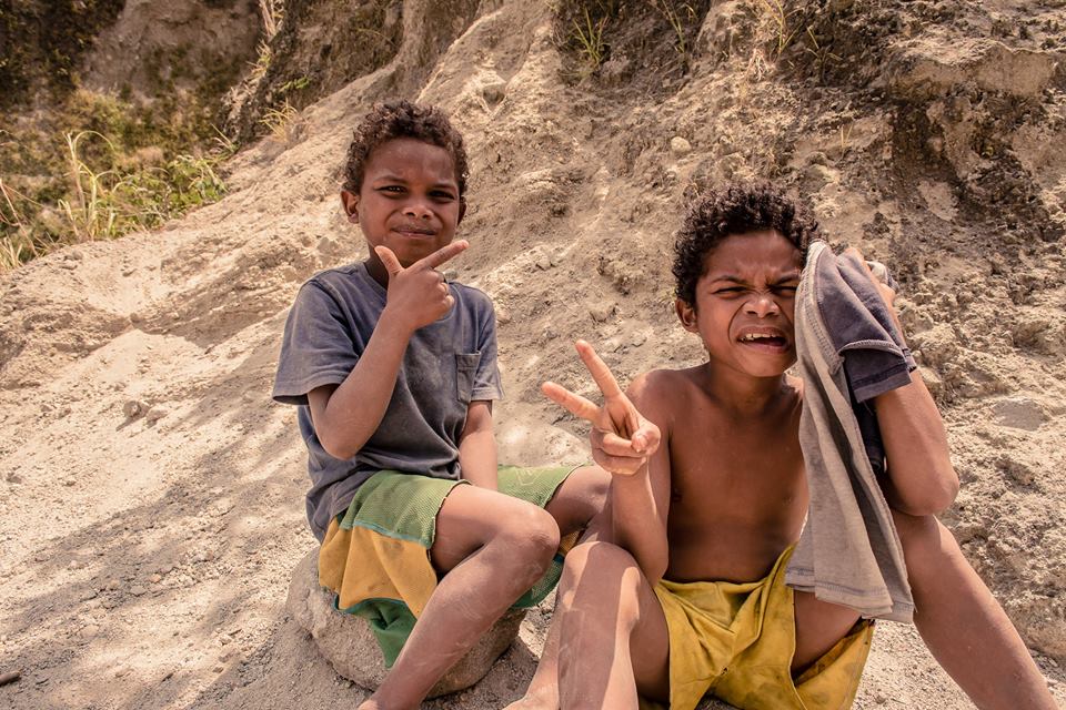
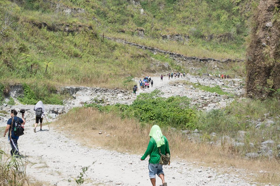
Nakakapanibago sapagkat ang daming trekkers noong araw ding iyon. Ayon sa aming guide na aking nakausap, umaabot daw sa 400 ang pumapanik tuwing weekend sa Mt. Pinatubo. Hindi kata-taka kung bakit ganun nga kami kadami. Medyo naninibago lang ako dahil sa mga nakaraang hiking adventures ko ay hindi naman ganun kadami ang mga nakasalamuha ko. Sa kabilang banda, nakakatuwang isipin na dumadami ang bilang ng mga nahihilig sa ganitong aktibidad ngunit sana lang huwag nating kalimutang itanim sa ating puso't isipan ang maging responsableng tao para maiwasan ang pagkasira ng lugar at matuto tayong igalang ang anumang kultura o tradisyon ang mayroon sa isang lugar na ating dinarayo.
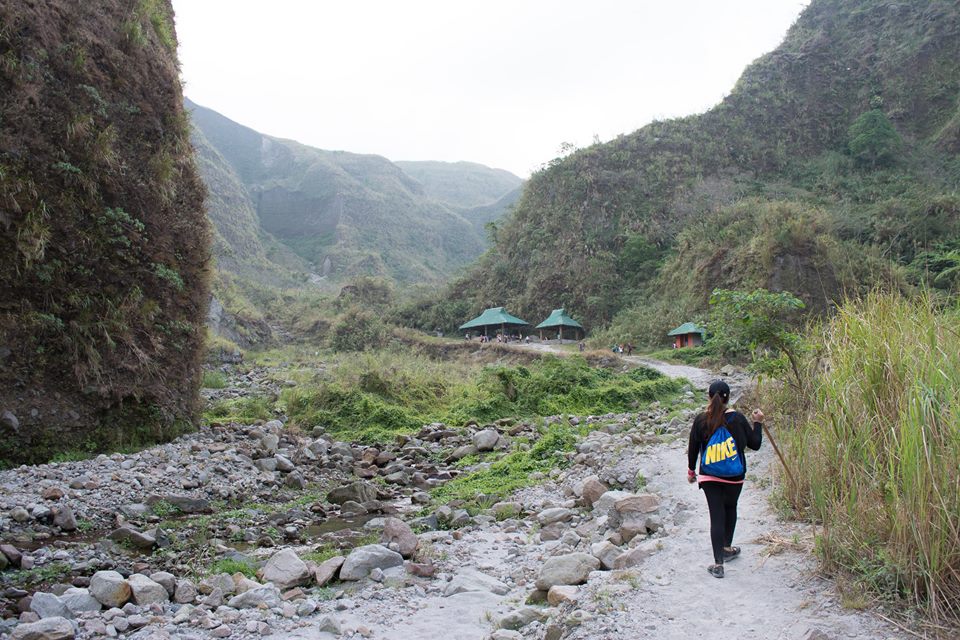
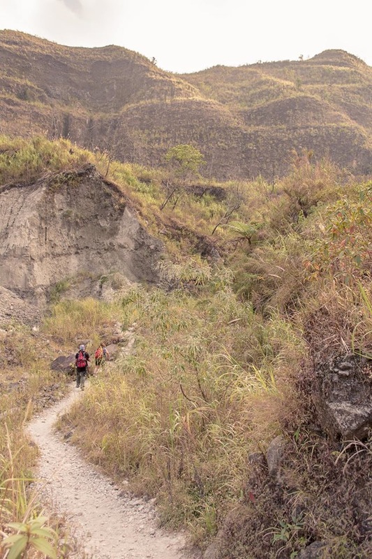
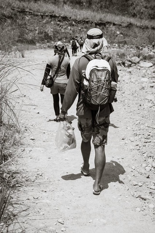
Manageable naman ang trail dito sapagkat wala namang assault na parte hanggang sa makarating ka sa mismong crater. Ngunit sa tingin ko ang nagpapa-challenge sa adventure na ito ay ang alikabok at matinding sikat ng araw na talaga namang siguradong uubos nang iyong lakas. Malaking porsyento ng trail ay talagang expose sa sikat nang araw dulot ng lahar.
Along the trail ay naka-kwentuhan ko ang aming guide at aking napag-alamanan na noong August 6, 2006 pala ay may ilang foreigners daw na nag-trek at nag-e-explore kasama ang kanilang guide nang sila ay abutan ng walang tigil na malakas na pag-ulan na ayon sa aming guide ay talaga daw mag-hapong ulan. Sa kasamaang palad daw ay tinangay sila ng flash flood na sanhi ng kanilang kamatayan kasama ang kanilang guide. Nakakalungkot isipin ngunit na-recover daw nila yung isa sa mga bangkay ng amerikana na putol na ang binti at ang isang braso nito. Napaisip tuloy ako sa matinding sinapit ng mga trekker na iyon at kung gaano katindi ang dausdos ng tubig na galing sa bulkan na ito.
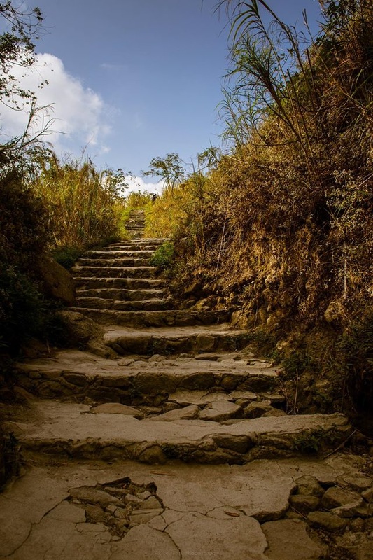
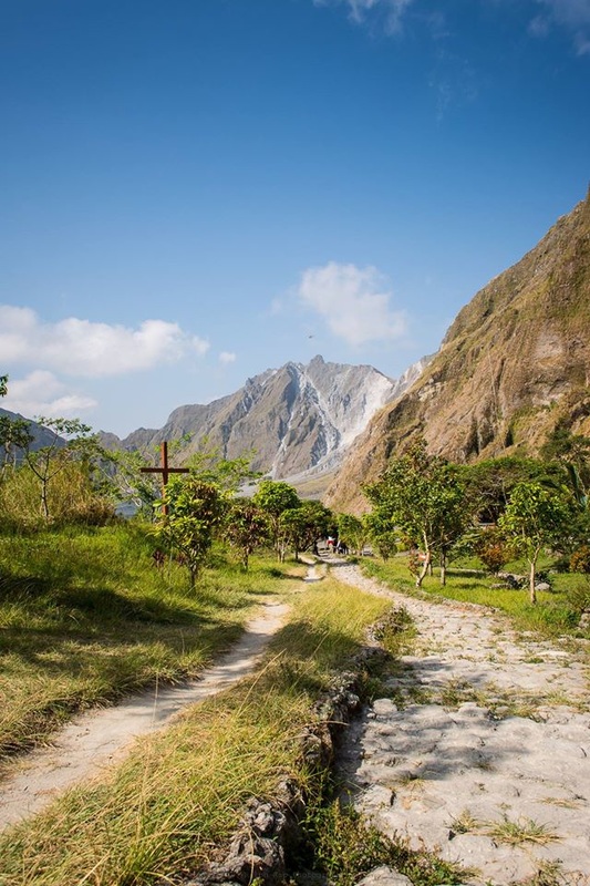
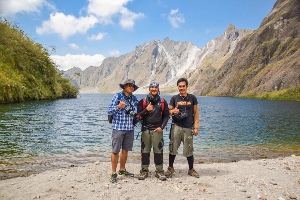
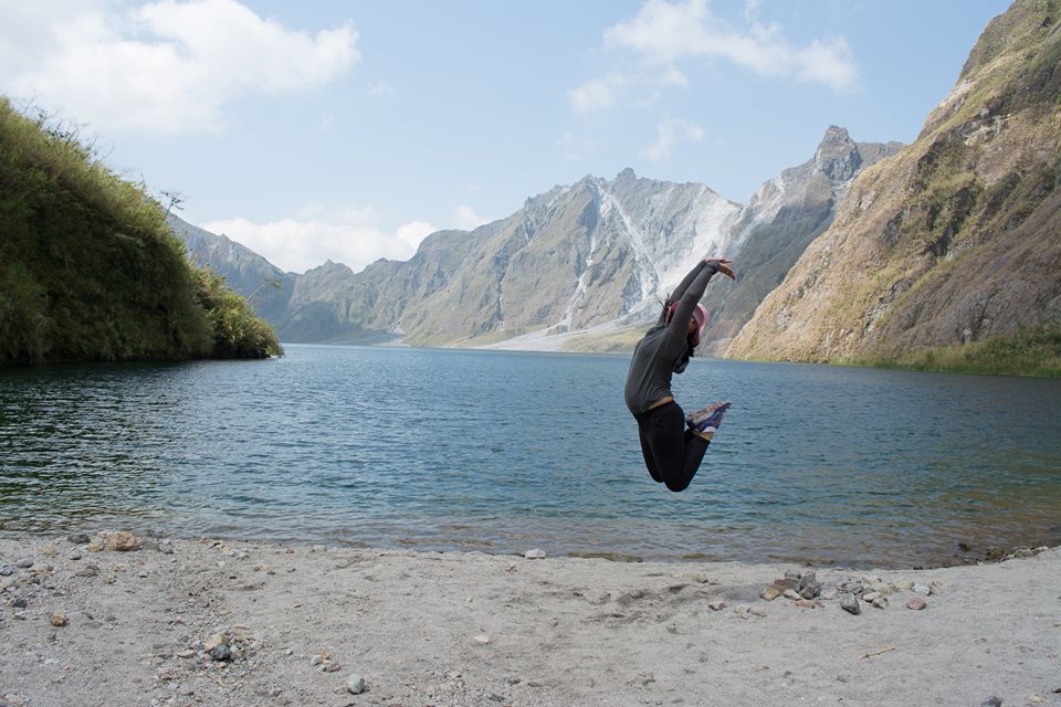
Halos katirikan na nang araw nung marating namin ang crater pero wala pang alas dose noon. Although napakarami talagang tao at malabo kang makapag-muni-muni, magtagal sa isang lugar upang pagmasdan ang magandang tanawin at kumuha ng litrato ay talagang masasabi mo na sa kabila ng matingding init' alikabok at pagod ay sulit. Sa kabila ng trahedyang idinulot ng mapinsalang pagsabog ng Mt. Pinatubo ay lumikha naman ito nang isang takaw tingin na tanawin. Bago ka makarating at makatapak sa mismong buhangin ng crater ay kinakailangan mong bumaba sa isang sadyang sementadong hagdanan. Ayon sa aming sa guide dati daw ay pinahihintulutan ang pagligo at ang kayaking sa crater ng pinatubo ngunit matapos ang ilang serye ng pagkalunod, pagka-trap/stranded at rescue operation ay pansamantala muna nila itong ipinagbawal.
Looking for more adventures, read about:
Pagsanjan Falls
Boracay: The flagship beach destination of the Philippines
The Waterfront Beach Resort
Taal (The Heritage Town)
Discover Tanay, Rizal: A True Adventure Experience
Bohol Escapade: The Voyage of Life
Where to Dine and Stay in Bohol, Philippines
Mt. Batulao
Mt. Humarap (Tatlong Krus) and Matabungka Falls
Mt. Gulugod Baboy (Mt. Pinagbanderahan)
Mt. Tagapo
Mt. Talamitam
Mt. Maculot
Mt. Mariveles (Tarak Ridge-Peak)
Mt. Sembrano
Mt. Balagbag and Kaytitinga Falls
Mt. Pico de Loro (Mt. Palay-Palay) and Boracay de Cavite (Katungkulan Beach)
Mt. Tabayoc, Mystical Lakes (Tabeo, Ambulalakao, Letep-ngapos, Incolos) and Junior Pulag
Mt. Sipit Ulang and Payaran Falls
Mt. Ulap (The Beauty Behind The Pines)
Hundred Islands
La Mesa Eco-Park
A Photowalk Journey: Manila-Pasay
Manila Seedling Bank: Nature is the art of God
Bakit karamihan sa mga namumundok walang lovelife?
Aking Diwata
May Forever sa Bundok (Finding Neverland and Love at First Sight)
Central Luzon
Major jump-off: Brgy. Sta. Juliana, Capas, Tarlac
LLA: 15°8’35″N, 120°20’54″E, 960 MASL
Days required / Hours to crater: 1 day, 45 min 4×4 + 2 hrs hike
Specs: Minor climb, Difficulty 2/9, Trail class 1
Source: pinoymountaineer.com
Proposed Itinerary via Capas, Tarlac
0230 ETA Manila for Capas, Tarlac via NLEX (P140)
0500 ETA Capas, Tarlac. Breakfast
0600 ETA Brgy. Sta. Juliana; finalize prior arrangements
0700 Board 4×4 vehicles; adventure begins!
0800 ETA end-of-the-road; start trek
1000 ETA crater of Mt. Pinatubo. Explore the crater
1130 Lunch
1200 Start return trek
1400 Back to the 4x4s parked
1445 Back at jump-off point
1500 Return to Manila
1900 ETA Manila
Major jump-off: Brgy. Pidpid, Porac, Pampanga
LLA: 15°8'35"N, 120°20'54"E, 960 MASL
Days required / Hours to crater: 2 days/ 10 to 12 hours
Specs: Major climb, Difficulty 7/9, Trail class 1-3
Source: bantogbackpackers.blogspot.com
Proposed Itinerary via Delta 5
Day 0
11:00 PM Assembly at Cubao
Day 1
12:00 AM ETD going to Dau Terminal
1:30 AM ETA Dau terminal, Wait for chartered jeep
3:30 AM ETA Delta 5 Jump-off
4:00 AM Start Trek
5:30 AM ETA First River Crossing
11:00 AM ETA Water Source (Load Water) Lunch
2:00 PM Continue Trek
2:00 PM ETA 1st Water Falls
3:00 PM ETA 2nd Water Falls
4:00 PM ETA 3rd Water Falls (1 hour before campsite)
5:00 PM ETA Campsite (set up tent)
Day 2
4:00 AM Wake Up Call (Prepare Breakfast)
5:00 AM Summit Assault
7:00 AM ETA Summit (Picture taking)
8:00 AM Back at Campsite (Break Camp) Packed Lunch
12:00 NN Lunch on Trail
6:30 PM ETA Jump-off
7:00 PM Departure going to Angeles City
8:00 PM ETA Rommel's House (Dinner)
10:00 PM ETD Manila
11:30 PM ETA Manila (Home Sweet Home)
But we were able to do it this way : (Their Actual Itinerary)
Day 0
11:30PM – Assembly at Cubao
12:00MN to 1:30AM – Cubao to Dau Terminal
Day 1
1:30AM to 2:00AM - Waiting for chartered jeepney
2:00AM to 3:00AM - Dau to Brgy. Pidpid, Porac, Pampanga
3:00AM to 3:30AM - breakfast and prepare for trekking
3:30AM - start of trek
5:00AM - first river crossing (15 river crossings up to the campsite)
11:00AM - first water source
11:30AM - first water falls
12:00NN - second and third waterfalls
12:30PM - arrival at campsite (with water source)
12:30PM to 1:30PM- pitch tents, lunch and rest
1:30PM to 4:00PM - campsite to crater (summit)
Up to 6 river crossings and 2 hours assault with boulders crossing
(there’s last water source, water closer to summit is not safe for drinking)
4:00PM to 4:30PM - at the crater (picture taking)
4:30PM to 6:45PM - summit to campsite
7:00PM - bath without soap at the campsite (unlimited water)
Dinner
9:00PM - lights off!
Day 2
5:00AM - wake up call
5:00AM to 5:30AM - breakfast
6:00AM - break camp!
6:30AM to 7:00AM - campsite to 2nd and 3rd waterfalls
7:00AM to 7:30AM - 2nd and 3rd waterfalls to 1st waterfalls
7:30AM to 2:30PM - 1st waterfalls to jump-off
Lunch held at the last shade we found
2:30PM to 3:00PM - naligaw ako!
3:00PM - arrival at Brgy. Pidpid (jump-off)
There’s a sari sari store at Brgy. Pidpid at namili agad ng softdrinks!
3:30PM to 4:30PM - Brgy. Pidpid, Porac, Pampanga to Rommel’s House
(Angeles, Pampanga)
4:30PM - unlimited meryenda/dinner with unlimited iced tea
at Rommel’s House
5:00PM - bathing time
5:30PM - 6:30PM - the chartered jeep will bring you back to Dau Terminal
Our Itinerary based on the travel and tour package (Proposed)
As of March 19, 2016
2:30 AM - Pick up Metro Manila
5:00 AM - Stop over at McDonals/7-11 (Capas, Tarlac)
Option to buy foods for breakfast and lunch
5:30 AM - Depart for Registration Hall
6:00 AM - Arrival at Registration Hall, meet up with Tarlac Coordinator
7:00 AM - Start Adventure with 4x4 off road vehicle
All 4x4 vechicle should depart before 7:00 AM
8:15 AM - Arrive at jump-off point for Mt. Pinatubo via Long Trail, start trek
10:45 AM - Arrive at Mt. Pinatubo, relax
12:30 PM - Start trek down
3:00 PM - Board 4x4 Vehicles
4:30 PM - Arrive at Registration Hall, freshen up and depart for Tarlac
